While only an hour and a half from Denver, it was Woody's first time to Breckenridge and the only time I had been there was for a Powder Day with co-workers. The aspens are reaching their peak color in a lot of the state so we were hoping to see some beautiful colors on our day trip to the high country.
After checking out a number of trail review websites we decided on the Spruce Creek Trail to Upper Mohawk Lake. The trailhead is just a few miles outside of downtown Breckenridge off an accessible dirt county road. We arrived right about 8:30am to a few other cars in the small lot and it was all of 39 degrees! Thankfully I had long pants on over capris and a long sleeve top over a tank, but I could have easily used a pair of gloves as we started off. It's easy to forget how cold it can get at night in the mountains.

The start of the hike was nice and easy. Wide and well groomed, not too much of an incline we were able to walk side by side and could breath easy, even though the trail starts out more than 5,000 feet higher than where we live.
This 6.7 mile round-trip trail reaches its highest point at 12,110 feet with a total elevation gain of 1,810 feet. To put this into some perspective, the Empire State Building is 1,454 feet tall.
While we saw a few other groups of hikers, we had the trail to ourselves most of the way out, which is how I prefer my hiking. It offers us a chance to connect, talk about random things, and also just enjoy nature at it's most peaceful.
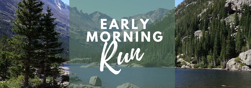
The trails winds alongside Spruce Creek a bit, and crosses over a few streams and seasonal runoffs, and through tall pines. About 1.5 miles is a turnoff to Wheeler Trail and then marshy lake with stunning views.

A bit farther down the trail you cross Spruce Creek Road - which actually goes back to the trailhead but from what we saw, would require a truck or SUV to navigate - and a damn. After this, the trail begins to get a bit more technical and steep. Past Mayflower Lake, which we didn't actually see, but there was a turnoff from the trail, things get really serious.
First, are some old mining buildings. This place is far from town now, I cannot even begin to imagine what life was like way out here back when this mine was in action. There is a waterfall just a bit away from these buildings, which is cool to check out, before heading back to the trail.

From here on up, the trail is almost a mythical thing - it was crazy hard to find the trail on our way up and instead we ended up scrambling up steep open rock alongside Continental Falls. At the top of this section there's what's left of an old, tram building with one cable still in tact which we used when we could. To say I was a bit nervous during this section is an understatement. But it felt pretty amazing to get to the top. I wish I had some good photos of this, but I was too focused on just getting through it!


We were a bit tired by the time we got up to this point and without any shade or clouds in the sky, the temperature had jumped dramatically. We hunted around and found the trail again, which led us over a bit of a hill to Lower Mohawk Lake. I have to say, these mountain lakes are beautiful - the water is so clear it's just crazy. Each one unique, some more stunning than others, but all of them incredible.
Just about 3 miles in the lake is a perfect spot to stop for a picnic or a rest, a lot of people also seem to turn around and head back from here. It's a beautiful lake, so it's definitely a fine place to stop, but it's worth it to push on. There were only a few people at Lower Mohawk Lake when we were first there, so it was quite peaceful.
Again, it was tough to find the trail and we had to crosscut a bit through some marshy patches, but we managed to locate the trail and wind our way up a final incline and through some tall bushes. Then out of no where, you're eye level with the lake.


Not a bad view the other way either, but there were more pines than aspens. On the way back down there were a lot more people out on the trail. We had read this is a popular trail - which makes sense since it's so close to downtown Breckenridge - and it definitely was. I'm glad we got out on the trail early. Thankfully we were able to find our way down the mountain via the trail, which was still pretty steep but a good bit easier than the way we took up. Talking to some other hikers, we quickly realized we weren't the only ones who had trouble finding the way.
When we got back to the trailhead the small parking lot was overflowing with cars, which were parked along both sides of the narrow road for quite a long way. Another reason to get there early!
A few tips if you're going to do this hike:
- Get there early
- Wear layers
- Wear sunblock - the sun is harsh
- Be sure to drink plenty of water to stay hydrated at the high altitude
- There are no outhouses at the trailhead, so make a pit stop in town
- Take a picture of the trail map at the trailhead so you can reference it when you get of course
- Plan to spend some time in Breck after the hike, there are great places to eat and it's a cute mountain town
While we didn't see many aspens on the trail, there were quite a few in downtown Breck and around Frisco, which is where you get back onto 70 - the main highway through the mountains. This photo is from Dillon Reservoir.

What are your favorite ways to enjoy fall weather? * Any favorite hikes or drives to see the colors?
No comments:
Post a Comment